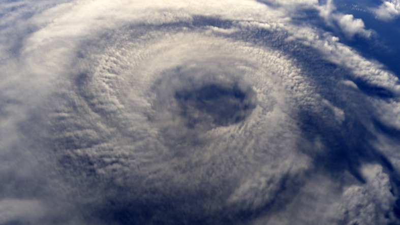
‘Double threat’ of cyclones close in on WA coast

Residents and travellers along the central west coast are being urged to prepare for Cyclone Seroja.
Seroja is currently a category one system hovering 525 kilometres north-west of Exmouth.
Duty Forecaster at the Bureau of Meteorology, Stephanie Bond, said it is currently tracking in a south-west direction.
“We expect it to intensify over the next day or two as it continues well offshore of the Pilbara coast.”
Seroja will then turn south-east on Sunday and make landfall late on Sunday or Monday somewhere between Carnarvon and Jurien Bay.
It is expected to bring destructive winds up to 125 kilometres an hour and flash flooding.
Meanwhile, a tropical low tracking north of Seroja is expected to develop into a cyclone today creating a rare weather event known as the fujiwhara effect.
“We expect that to intensify into a tropical cyclone later this morning, and then move southwards from Friday night into Saturday,” Ms Bond said.
“As it approaches that Exmouth, North-West Cape area, it will extend some gale-force winds and damaging winds.”
Department of Fire and Emergency Services is urging anyone hoping to travel to the Coral Coast to reconsider.
The latest emergency warnings and information can be found on the Emergency WA website.
Click play to hear the full interview.
(Photo: iStock by Getty Images.)


